 Inicio
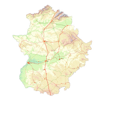
Junta de Extremadura. Centro de Información Cartográfica y Territorial de Extremadura (CICTEX)
Type of resources
Available actions
Topics
Keywords
Contact for the resource
Provided by
Years
Formats
Representation types
Update frequencies
status
Service types
Scale
-
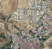
Servicio Web de Mapas de las Ortofotografía PNOA Extremadura 2007-2010 Resolución 0,25 m. IDEEX. Servicio WMS del Centro de Información Cartográfica y Territorial de Extremadura.Junta de Extremadura.
-
Servicio Web de Mapas de Normativa Urbanística de Valdefuentes. IDEEX. Servicio WMS del Centro de Información Cartográfica y Territorial de Extremadura.Junta de Extremadura.
-
Servicio Web de Mapas de Normativa Urbanística de Albalá. IDEEX. Servicio WMS del Centro de Información Cartográfica y Territorial de Extremadura.Junta de Extremadura.
-
Servicio Web de Centros Educativos. IDEEX. Servicio WMS del Centro de Información Cartográfica y Territorial de Extremadura. Junta de Extremadura.
-
Servicio Web de Mapas de Cartografía de la Cumbre. IDEEX. Servicio WMS del Centro de Información Cartográfica y Territorial de Extremadura.Junta de Extremadura.
-
Servicio Web de Biogeografía. IDEEX. Servicio WMS del Centro de Información Cartográfica y Territorial de Extremadura.Junta de Extremadura.
-
Servicio Web de Mapas Cartografía 1:50.000 Badajoz (1960-1967). IDEEX. Servicio WMS del Centro de Información Cartográfica y Territorial de Extremadura.Junta de Extremadura.
-
Servicio Web de Mapas de Catálogo de Albalá. IDEEX. Servicio WMS del Centro de Información Cartográfica y Territorial de Extremadura.Junta de Extremadura.
-
Servicio Web de la IDE de Extremadura
-
Servicio Web de Mapas de Planes Territoriales. IDEEX. Servicio WMS del Centro de Información Cartográfica y Territorial de Extremadura. Junta de Extremadura.